Accurate Layouts That Support Design Coordination
Tree location mapping for development and permitting projects in Pompano Beach, Florida and surrounding areas.
Your design team cannot finalize site plans without knowing exactly where the trees are. Whether you are preparing a submission in Pompano Beach or coordinating with civil engineers on utility placement, an accurate tree map provides the spatial data needed to make informed decisions about grading, building placement, and protection zones. The map becomes part of your permit package and must align with the standards expected by local reviewers in Pompano Beach and surrounding jurisdictions.
Branch Out Consulting prepares tree location maps formatted for integration with CAD-based site plans and landscape designs. Each map includes species labels, trunk diameter, condition ratings, and precise coordinates for every tree within the project area. You receive a document that supports coordination between arborists, engineers, and architects while meeting the documentation requirements set by municipal agencies.
If your project in Pompano Beach, Lighthouse Point, West Palm Beach or a surrounding area requires a tree map for site planning or compliance, reach out to discuss what level of detail your submission needs.
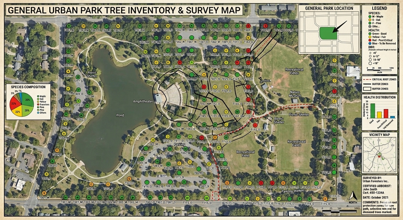
What the Mapping Process Delivers
The arborist visits your site in Pompano Beachor a neighboring community to measure and locate every tree within the project boundaries using GPS and measuring tools. Each tree is tagged with an identification number, and its position is recorded relative to property lines, structures, and other site features. The data is then formatted into a CAD-compatible layout that your design team can overlay onto grading plans, utility corridors, and building footprints.
You receive a map that includes species names, trunk diameter at breast height, condition ratings, and any notable structural features such as co-dominant stems or leaning trunks. The map also shows canopy spread where relevant, which helps your team evaluate protection zones and assess potential conflicts with construction activity.
The map does not include site grading, drainage design, or landscape installation plans, but it integrates cleanly with those documents when submitted together. Branch Out Consulting coordinates with engineers and landscape architects to ensure the tree data aligns with the scale and format of your site plans. This reduces the need for additional surveys or revisions during the permitting process.
Property owners and design teams working on development projects often want to know what level of accuracy the map provides, how it integrates with other site documents, and whether it satisfies the submission requirements of local agencies.
You need clarity before committing to the survey
Branch Out Consulting works with developers, engineers, and architects throughout Pompano Beach to prepare tree location maps that support efficient design coordination and timely permit approvals. If your project requires accurate tree mapping for site planning or municipal submission, contact us to schedule a site visit and discuss your documentation needs.